
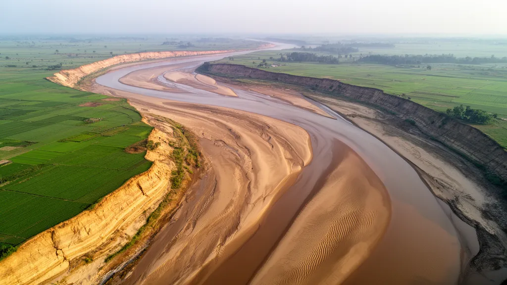
A long-term geomorphological investigation of the Ganga River in Bihar, India, revealed that the river channel migrated laterally at an average length rate of 20.33 meters per year between 1972 and 2020. Over the same 48-year observation period, the river exhibited an average shape area migration rate of 9.73 square kilometers per year, demonstrating active planform evolution across the regional floodplain.
The Ganga River functions as one of South Asia’s principal river systems, directly sustaining approximately 600 million people while underpinning regional water supply, agricultural systems, ecological networks, and cultural life. Recurring annual floods throughout the basin induce severe riverbank erosion that continuously alters floodplain configurations and disrupts the livelihoods of local riparian populations.
To quantify these multi-decadal channel shifts, researchers delineated channel skeletons using the Normalized Difference Water Index and the Modified Normalized Difference Water Index derived from satellite observations. The study then tracked lateral meander evolution and channel migration patterns using the Fluvial Corridor and Channel Migration Toolbox.
Spatial patterns of riverbank instability were analyzed using spatial statistics, combining the Getis-Ord Gi* statistic with Moran’s I index to locate significant erosion concentrations. The spatial autocorrelation assessment yielded a Moran’s I value of 0.91, establishing that bank erosion dynamics across the Bihar reach follow a strongly clustered distribution rather than a random pattern.
Across the entire study timeframe from 1972 to 2020, total erosion and total deposition exhibited an approximate equilibrium along the analyzed reach. Cumulative riverbank erosion removed 1,137.46 square kilometers of land, while sediment deposition accounted for 1,107.66 square kilometers across the river corridor.
Spatial mapping identified 7,584.20 square kilometers of statistically significant erosion hotspots alongside 5,276.48 square kilometers of coldspots. The most extensive riverbank loss occurred along the river’s left bank, generating pronounced physical impacts across north Bihar that present critical challenges for regional food security, local economic stability, and environmental mitigation planning.
Subject of Research: Ganga River channel migration and floodplain erosion dynamics in Bihar
Article Title: Fluvial morphodynamics and channel-floodplain interactions of the river Ganga
Article References: Sahu, N., Varun, A., Mallick, S. K., Das, P., Wang, X., Saini, A., Kesharwani, R., Kumar, A., Mishra, M. M., Panda, A., & Kumar, M. (2026). Fluvial morphodynamics and channel-floodplain interactions of the river Ganga. Discover Applied Sciences. https://doi.org/10.1007/s42452-026-09768-7
Image Credits: AI Generated
DOI: 10.1007/s42452-026-09768-7